The first phase of the Tsolum River Flood Wall project is expected to be complete by the end of the year.
Mark DeGagne of McElhanney Consulting Services gave Courtenay council an update about the first phase, flood plain mapping and modelling, of the project during Monday's council meeting.
Since last spring, McElhanny Consulting Services and Kerr Wood Leidal have been studying Courtenay's flood plain; aerial photography and LiDAR (like radar with a laser), flood plain mapping, flood forecast simulations and flood mitigation options for the long- and short-term are all part of the study.
Noting the floods in the Lewis Park area of Courtenay during 2009 and 2010, he presented a working model simulation of flooding from the Courtenay, Puntledge and Tsolum rivers — which he said the team is just putting the final touches on.
According to a Courtenay staff report, "having an accurate model illustrating flooding extents is critical to ensuring the Tsolum River Flood Wall is constructed in the right location and at the correct elevation."
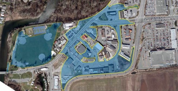
The proposed flood wall is along the old channel of the Tsolum River near the Old Island Highway and the base of Ryan Road, according to the study.
Courtenay received provincial funding approval for two thirds of the project cost to a maximum of $471,000 in January and over $700,000 has been set aside for the project in Courtenay's 2012 Capital Budget.
DeGagne noted public meetings were held in June to introduce the project and request feedback. Another public meeting is scheduled for mid-November, which will show flood scenarios.
The project team will then simulate up to three different mitigation options, including the flood wall, and go back to the public to display those options for feedback.
Final recommendations to council are expected by the end of the year.
"From there, the City will be able to determine whether the flood wall is a worthwhile project, or something along those lines, and go into the next two phases of the project," said DeGagne.
According to the City staff report, the second phase of the project includes project approvals and design with an estimated completion date of March. The third phase includes tendering and construction with an estimated completion date of December 2013.
DeGagne pointed out the options in his report will not only include "hard options" like building dykes or raising roads, but will also provide planning tools for the City in terms of bylaw and land use changes.
"The flood construction level is obviously something that's going to be dynamic — if we do get the climatic change and sea level rise that we're predicting, you'll be able to know in the future what to expect and how to plan for it so that's another important part of this tool," he told council.
He said the study will also look at tide levels in the Courtenay River Estuary because storm surge combined with high tides is a factor in flooding.
"The function of the river is both a function of tide levels and what's coming down the river, so even though you may not have a whole lot of water coming down the river, if you have a significant southeaster, you may have a significant impact," he said.
writer@comoxvalleyrecord.com