The latest phase of Coal Valley Estates (CVE) in Cumberland cleared a hurdle Monday, as council approved a development permit.
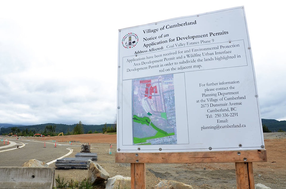
The developers needed a development permit in connection with wildlife urban interface and environmental protection issues. Representatives from McElhanney Engineering, which is overseeing the work, appeared before council to address questions about Phase 9 of the residential development. Through this phase, Coal Valley Estates wants to add 38 lots.
At the Aug. 12 meeting, project engineer Chris Durupt and Bob Hudson spoke briefly to council, with Durupt informing council issues highlighted in an ecological assessment from Ecofish Research predated more recent McElhanney’s information as cited in a June 13 letter, so they wanted to clarify some outstanding issues.
“We wanted to come back here today and make ourselves available,” Durupt said.
Their latest submission included work by McElhanney and a strategic natural resources consultant to answer some questions from council last month.
“We went back and did some more research,” he said.
Last month, the engineering firm responded to questions after the developers asked for the permit, though council expressed some concerns with the latest site plans, particularly around drainage from the site.
RELATED STORY: Cumberland council wants more answers for Coal Valley’s next stage
At the most recent meeting, Coun. Vickey Brown still had concerns about the drainage and voted against the motion to approve the development permit. Council members Sean Sullivan and Gwyn Sproule, and Mayor Leslie Baird supported the motion. Coun. Jesse Ketler was not at the meeting. Both Brown and Ketler had raised a number of points during the meeting in July. These surrounded plans for stormwater drainage in terms of how it would be piped out of the neighbourhood, why infiltration was not being used – in other words, capturing water and filtering it through subsoil layers down to the water table – and the amount of “amended” topsoil added to mitigate stormwater flow. They also said they were worried about underlying bedrock and how this could affect storm flows.
During the latest discussion, Brown also raised questions as to why a small “spur” road adjacent to the south of Phase 9 was included on maps for the development permit, as it is part of a subsequent phase of CVE plans.
“The reason for that is that drains into the same area, the same catchment,” Hudson responded. “Everything beyond that drains to the south.”
Brown’s main issue though was around the measure to add soil as a measure to mitigate storm flows.
“My primary concern is that if you put soil on top of bedrock, of course, it’s just going to wash away,” she said.
Regarding the issue of bedrock, Durupt said most of the soil is not placed on solid bedrock but fractured rock that has been manipulated to create the lots, which helps further absorption of runoff into the deeper groundwater table. He also said references to 300 mm of topsoil were only the bare minimum levels to mitigate heavy water flow.
Hudson added that the amount of 300 mm of topsoil comes from the Province’s stormwater management plan, which is set at a level to capture 25 mm of runoff over 24 hours.
“It’s the accepted long-term volume of topsoil required,” he said. “That’s a fairly well-recognized standard.”