The Comox Valley Regional District will be offering a free introductory information session on coastal flood risks in the Comox Valley on Nov. 30.
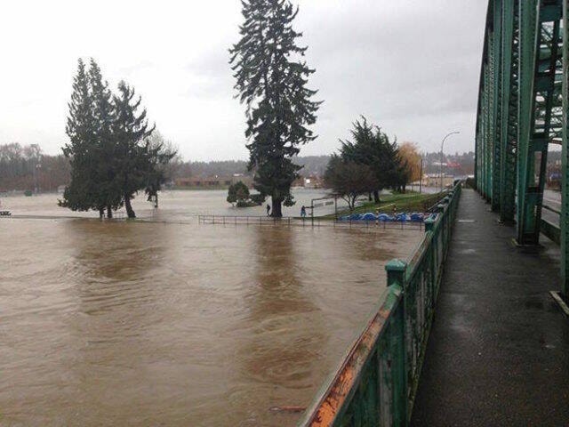
Climate change and coastal flood risk is a growing concern for many communities, including this region. The CVRD has completed updated floodplain maps for the entire area that accounts for the effects of sea level rise and climate change. The areas included in the Phase two assessment were Electoral Areas A, B and C, and K’ómoks First Nation IR#1, IR#2, and IR#3. The assessment did not include the City of Courtenay, Town of Comox, and Denman and Hornby Islands.
Building on the mapping information, the CVRD is taking the next step in a multi-phased approach to planning and building resilience for coastal flood risk.
“The next step in this project is to understand how the mapping data can be used to build a shared understanding of coastal flood risk and options to mitigate that risk,” says Alana Mullaly, general manager of planning and development services. “We invite residents to attend the information session to learn more about building coastal resilience at the neighbourhood level.”
The online session runs from 6:30-8 p.m. Tuesday, Nov. 30.
Register in advance: www.comoxvalleyrd.ca/coastalflood