Highway alerts continue for many of British Columbia’s roadways.
Environment Canada has issued snowfall warnings for Highway 97’s Pine Pass, Highway 3 from Paulson Summit to Kootenay Pass, the Trans-Canada Highway from Eagle Pass to Rogers Pass, Highway 3 from Hope to Princeton via Allison Pass and the Sea to Sky from Squamish to Whistler. A winter storm warning also continues for the Coquihalla Highway from Hope to Merritt.
“Weather in the mountains can change suddenly resulting in hazardous driving conditions,” Environment Canada said.
⚠️ Winter Storm Alert ⚠️ via @environmentca
— Drive BC (@DriveBC) December 20, 2018
Forecast Snow in cm next 24 hours for:#BCHwy1: #RogersPass 20-30#BCHwy3: #AllisonPass 25#BCHwy3: #KootenayPass 20-30#BCHwy5: #Coquihalla 30#BCHwy97: #PinePass 10-15#BCHwy99: #SeaToSky 20-30
Details: https://t.co/I8L6DcPTqb pic.twitter.com/1myON9poKS
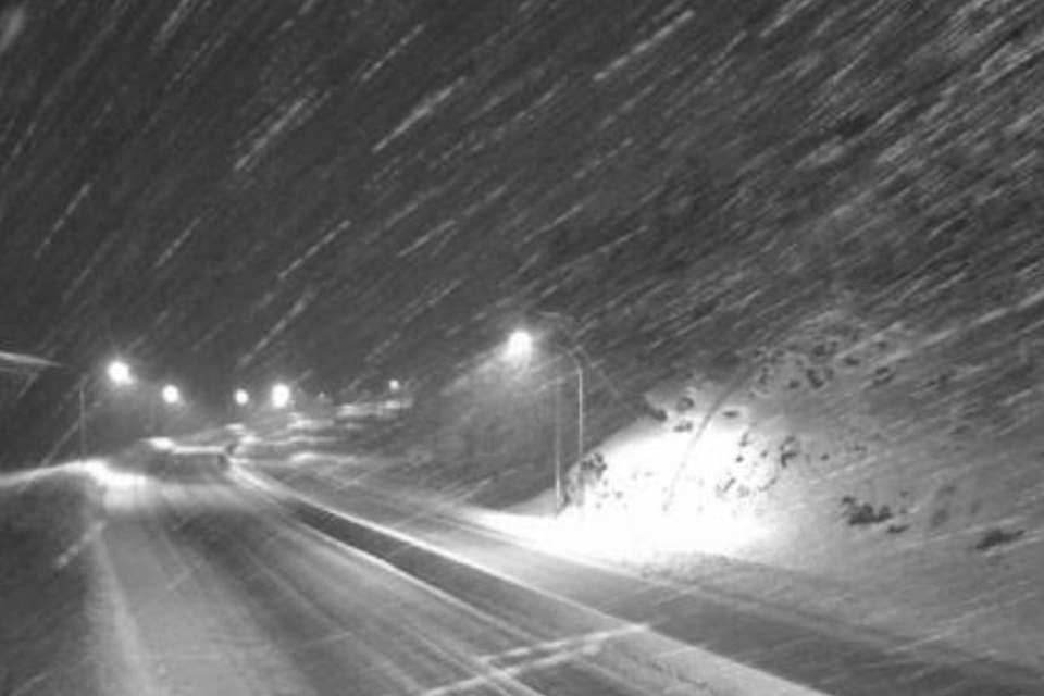
Highway 97: Pine Pass
Snowfall with total amounts of 10 to 15 centimeters is expected.
“An approaching Pacific low-pressure system will drop 10 to 15 cm of snowfall accumulation over Williston, Pine Pass, McGregor and the B.C Peace. Over the Peace, lesser amounts will occur away from the Rockies, Environment Canada said in the warning.
Snow will begin this morning and end late this evening or overnight tonight, as the low moves into Alberta.
Be prepared to adjust your driving with changing road conditions.
Highway 3: Paulson Summit to Kootenay Pass
An approaching low-pressure system will track inland today and across the B.C. Interior tonight. Heavy snow will persist today before tapering to flurries this evening. Snowfall amounts of 20 to 30 cm can be expected by this evening.
Prepare for quickly changing and deteriorating travel conditions. Rapidly accumulating snow could make travel difficult over some locations. Visibility may be suddenly reduced at times in heavy snow.
Trans-Canada Highway: Eagle Pass to Roger’s Pass
Snowfall with total amounts of 20 to 30 cm by Friday morning is expected.
Visibility may be suddenly reduced at times in heavy snow. Rapidly accumulating snow will make travel difficult. If visibility is reduced while driving, turn on your lights and maintain a safe following distance.
Related: Semi catches fire on Trans-Canada
Coquihalla Highway: Hope to Merritt
Snow has begun overnight and will intensify this morning. The snow may change to rain or become mixed with rain this afternoon. It will then change back to snow this evening. Total snowfall amounts of up to 30 cm can be expected by Friday morning.
Rapidly accumulating snow will make travel difficult. Prepare for quickly changing and deteriorating travel conditions.
Related: Snowfall warning issued for Highway 3, Coquihalla
Highway 3: Hope to Princeton via Allison Pass
Snowfall amounts of up to 25 cm can be expected by Friday morning.
Rapidly accumulating snow will make travel difficult. Visibility may be suddenly reduced at times in heavy snow.
Sea to Sky: Squamish to Whistler
Heavy snowfall as the next Pacific storm reaches Whistler today.
A low-pressure system is quickly approaching the B.C. Coast this morning. The low is expected to cross the mainland coast this afternoon.
This system will bring heavy snowfall to Whistler and the Sea to Sky highway today with snowfall accumulations of 15 cm expected. Further accumulations of 5 to 10 cm are expected tonight as the snow gradually eases.
Rapidly accumulating snow could make travel difficult over some locations. For information on emergency plans and kits go to http://www.getprepared.gc.ca/.
ShiftIntoWinter.ca reminds drivers to know before you go. Adjust to winter driving behaviour and use winter tires and chains.
Road conditions are available at www.drivebc.ca.
Please continue to monitor alerts and forecasts issued by Environment Canada. To report severe weather, send an email to BCstorm@canada.ca or tweet reports using #BCStorm.
@VernonNews
parker.crook@vernonmorningstar.com
Like us on Facebook and follow us on Twitter.