The Comox Valley Regional District announced Nov. 25 that the park located at the headwaters of Morrison Creek, which protects 22 hectares of aquatic and riparian habitat, has been formally named qax mot Conservation Area.
| qax mot location map |
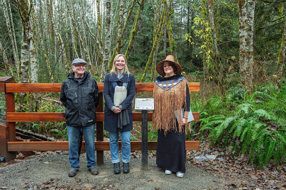
“We are so proud to stand together on this land called qax mot with the K’ómoks First Nation - our partners, friends and the traditional keepers of this unceded territory,” said Comox Valley Regional District Chair Jesse Ketler. “This park was purchased with the Comox Valley Land Trust for conservation purposes and is an example of how we can work together to support and protect the land and the waters that sustain our community for generations to come.”
“The qax mot Conservation Area name represents a small step in the right direction towards reconciliation,” said K’ómoks Hegus Nicole Rempel. “This ayajuthem name recognizes the long history of our people’s traditional use of the land, as well as the culturally important practice of medicinal plant gathering. Our partnership with CVRD is a great example of how our communities can work together to steward our water and lands responsibly and protect them for future generations.”
qax mot Conservation Area is accessible from Lake Trail Road. Vehicle parking is available at Linton Conservation Area northeast of the park entrance.
From the park entrance, a 1.8km trail follows an old road grade to Morrison Creek and proceeds around a short loop trail back to the Morrison Creek bridge. Trail marker signs indicate the park entrance and trail locations. The south west side of qax mot Conservation Area is restricted to park visitors to help protect sensitive habitat and wildlife living in this area of the park.