The following is a public notice from Stephen Watson at BC Hydro, issued Saturday at 3 p.m. local time:
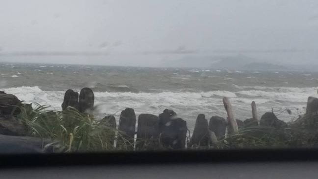
This is the storm we’ve been focused on all week. And while it has shifted south slightly into Washington State it will bring some heavy rain to the upper Puntledge River watershed. The downstream river flows today and particularly Sunday morning may be slightly higher than Friday’s storm. The storms will be very significant and could provide extremely high flow rates in the Browns and Tsolum rivers.
The forecast calls for heavy rain to begin in the afternoon and continue through the rest of Saturday and into early Sunday. Very strong southeast winds will accompany this storm late this afternoon through this evening. Early Sunday morning the rain will turn to showers.
The forecast is for about 75 mm of rain to fall in the upper watershed. The challenge is the winds and rain will be coming in from the southeast and will be hitting the north side of the watershed where the Browns and Tsolum headwaters are located. This means they could get very high. There will also be some ocean storm surge pushing up the estuary.
Entering these three storms the Comox Lake reservoir was well positioned and we began spilling high volumes of water Wednesday night. Discharge levels have been at around 110 m3/s during the low tide and down to 35 m3/s during key high tides with higher Browns and Tsolum river flows. Given the current downstream water conditions are low and will not be reacting to the storm until this evening, we are ramping down the discharge from the dam to about 45 m3/s for the 5:34 pm high tide. However, given the potential concern for this storm and storm surge, we will only increase the discharge after the high tide to about 75 m3/s versus a higher amount. Given the good reservoir storage availability at the start of these storms, and our ability to spill water at key times throughout, it has allowed our operations be very conservative for this upcoming localised downstream flood risk. We are particularly concerned for the high tide at 6:19 am on Sunday. Really, from about midnight to about 10 am Sunday there are potential flood risks. We will also reduce our spill from the dam for that high tide to about 35 m3/s. We will do so earlier if needed.
On Friday, downstream river flows came about 30-50 cm from some localised flooding in the Courtenay area. The forecast is telling us that this will be much tighter or closer come Sunday early morning. Of course forecasts can change.
BC Hydro continues to communicate regularly with the City of Courtenay, Comox Valley Regional District, Comox Valley Emergency program, and Emergency Management BC.