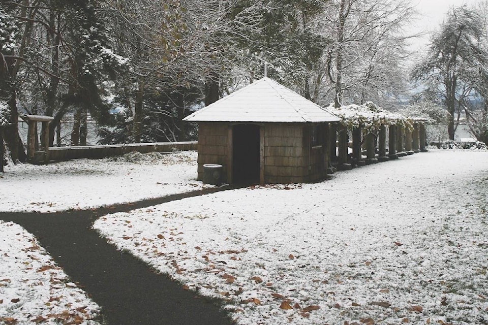
While the Comox Valley has been spared of any snow records, Environment Canada meteorologists are warning more is on the way.
Armel Castellan, meteorologist for the agency said there is a potential for more snow - up to 10 cm overnight Monday - with snow continuing Tuesday morning, with totals upwards of 15 cm for the Valley.
“The rest of Canada is finding a bit of retribution when we were talking about cherry blossoms and flowers coming up last month,” he noted.
Castellan explained while there was major variation in the amount of snowfall across the Island Sunday, the official amount registered at the Comox Valley Airport was eight cm. He explained amounts ranged well above that in the south Island, with Chemainus receiving 45 cm of snow.
“The official amounts come from the airports, but for example, certain areas of Nanaimo received anywhere from 20 to 40 cm. It also depends on how people are measuring (the snowfall), and if they’re using their hands or rulers.”
For snow, a variety of geographical factors also impact the amount of snowfall, Castellan noted. He said sea level, mountain ranges and valleys play factors.
This afternoon, another snowfall event is expected to hit the area, with a variety of precipitation affecting the region. South of the Island near Seattle, Castellan said the area will receive rain, but in Victoria near the city’s downtown core, the area will see some snow. On the Malahat, the area could see double the amount of snowfall.
“It really depends on where you are. In Port Hardy, they could see very little snow. Campbell River is officially in the snow warning area, but they could see less snow than Nanaimo or areas south.”
Castellan said the area is facing a “long-lasting pattern, similar to a groundhog week phenomenon,” where cold dry air meets with a Pacific moist air mass again every few days. He added the arctic outflow winds are very strong, which highlights the area’s vulnerability to various hazards such as snow and wind.
Later this week, Castellan sees a slight warm up in temperatures across the region, with snow changing to rain or freezing rain on Thursday or Friday.
Overall, temperatures are between seven and nine degrees below normal for this time of the year.
• • •
Despite the wintery blast, buses in the Valley have been running as smoothly as possible, said Michael Zbarsky, manager of transit and sustainability for the Comox Valley Regional District.
As for Monday, Zbarsky noted buses are running “pretty much on schedule” without any detours.
As for the impending snowfall, he explained changes in schedules or cancellations depend on how conditions unfold, and drivers will determine if the road conditions are not safe to drive.
Sometimes buses will modify the route, and most likely they will find a shorter version of a route where the roads have been cleared.
He added any significant delays or cancellations will be posted to the BC Transit Info Line (250-339-5453) or through the NextRide app.
erin.haluschak@comoxvalleyrecord.com
Like us on Facebook and follow us on Twitter